Description
Overview
The Topcon HiPer VR GNSS Receiver is a multi-constellation field receiver designed for land surveyors, geospatial professionals, and construction teams requiring millimeter-level positioning accuracy across RTK, static, and code differential workflows. It supports all major GNSS constellations including GPS, GLONASS, Galileo, BeiDou, QZSS, and IRNSS, with 226 tracking channels and an integrated Full Wave Fence Antenna. This Grade B unit from OMIWAA provides access to a fully operational HiPer VR at a substantially reduced cost compared to new, making it a practical acquisition for survey crews adding field capacity or replacing end-of-life equipment without new hardware budgets.
Technical Specifications
The following specifications are based on the Topcon HiPer VR GNSS Receiver manufacturer datasheet and official product documentation.
Topcon HiPer VR GNSS Receiver Specifications
- GNSS constellations: GPS, GLONASS, Galileo, BeiDou, QZSS, IRNSS (NavIC), SBAS (WAAS, EGNOS, MSAS), L-band
- GPS signals: L1 C/A, L1C, L1P(Y), L2P(Y), L2C, L5
- GLONASS signals: L1 C/A, L1P, L2C/A, L2P, L3C
- Galileo signals: E1, E5a, E5b, E5 Alt-BOC
- BeiDou signals: B1, B2
- Tracking channels: 226 (including Vanguard Technology™ and Universal Tracking Channels™; 2 reserved for L-band)
- Antenna: Integrated Full Wave Fence Antenna™ with internal ground plane
- Static accuracy: H: 3 mm + 0.1 ppm | V: 3.5 mm + 0.4 ppm
- Fast Static accuracy: H: 3 mm + 0.4 ppm | V: 5 mm + 0.5 ppm
- RTK accuracy: H: 5 mm + 0.5 ppm | V: 10 mm + 0.8 ppm
- Code Differential GNSS: H: < 0.25 m | V: < 0.50 m
- RTK Tilt Compensated (TILT™): 1.3 mm/° at tilt ≤ 10°; 1.8 mm/° at tilt > 10°; max recommended tilt: 15°
- Internal UHF radio (optional): 405–470 MHz or FH915 spread spectrum; 1 W max; range 5–7 km typical, up to 15 km optimal
- Cellular: Optional internal 4G module
- LongLink™ range: Up to 328.1 m (1,000 ft)
- Bluetooth: Yes
- Ports: 1 × Serial, 1 × USB, 3 × Connector
- Data formats: TPS, RTCM, CMR/CMR+, NMEA, BINEX
- Internal memory: 8 GB
- Update rate: Up to 20 Hz
- External power supply: 9.0–27.0 V DC
- Battery: Li-ion 11,600 mAh, 3.7 V
- Operating time: RX mode — 10 hr | TX mode (1 W) — 6 hr
- Dimensions: 14.90 cm × 9.46 cm
- Weight: 1.061 kg (2.33 lb)
- Ingress protection: IP67
- Drop resistance: 2 m pole drop onto concrete
- Operating temperature: −40 °C to +65 °C
- Vibration: MIL-STD-810G
- Humidity: 100%
Key Performance Parameters
- RTK horizontal accuracy: 5 mm + 0.5 ppm — suitable for construction layout, boundary surveys, and infrastructure staking
- Static horizontal accuracy: 3 mm + 0.1 ppm — applicable for control network establishment and precise topographic measurement
- 226 GNSS tracking channels across GPS, GLONASS, Galileo, BeiDou, QZSS, and IRNSS for multi-constellation redundancy in challenging environments
- IP67 ingress protection and MIL-STD-810G vibration compliance for field use in demanding outdoor conditions
Condition Report
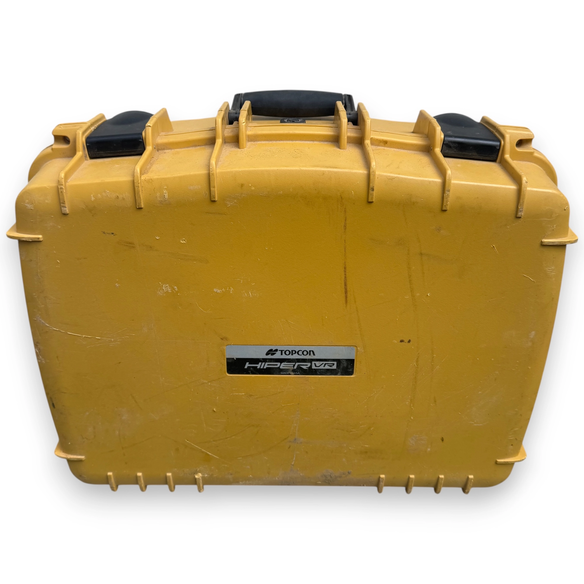
This unit is graded B — Good. It is fully operational and was verified to function within manufacturer specifications prior to listing. The unit presents only light cosmetic traces of professional use, including minor surface marks or light scuffing on the housing. No structural damage, antenna compromise, or electronic faults were identified during inspection. Buyers are advised to review the provided photographs to assess the cosmetic condition of the housing prior to purchase.
Included in the Box
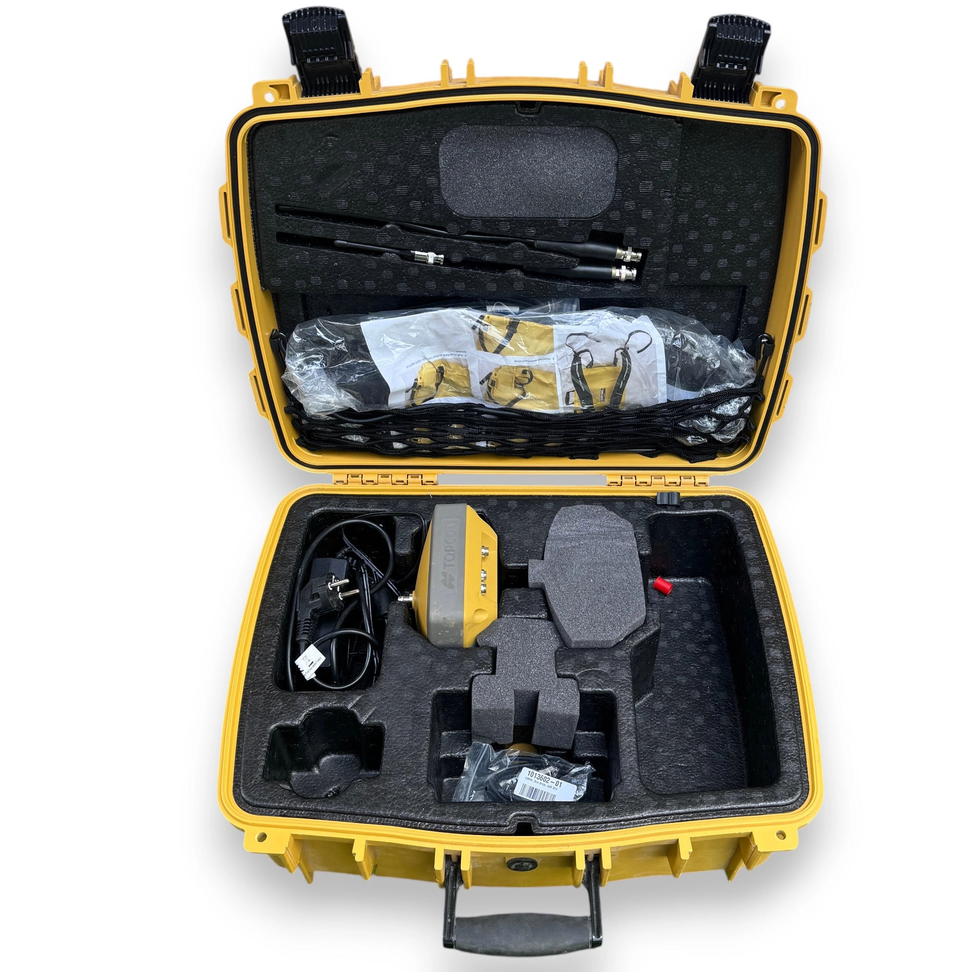
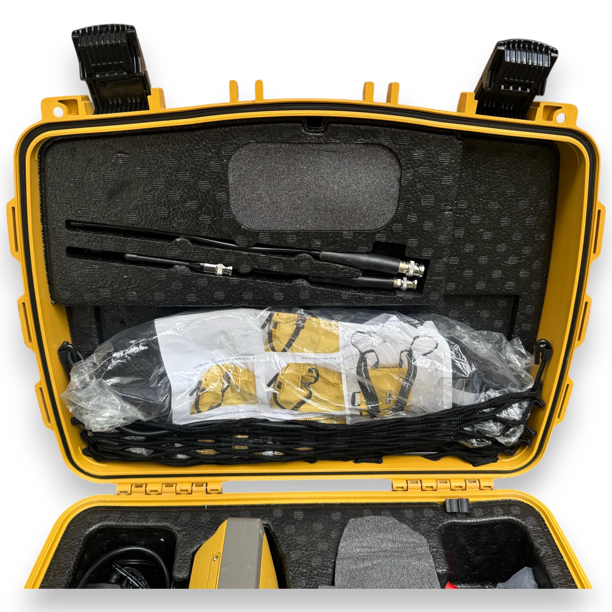
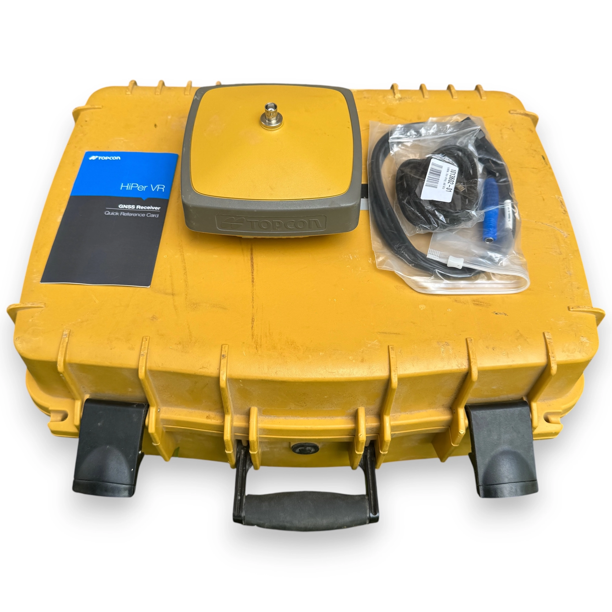
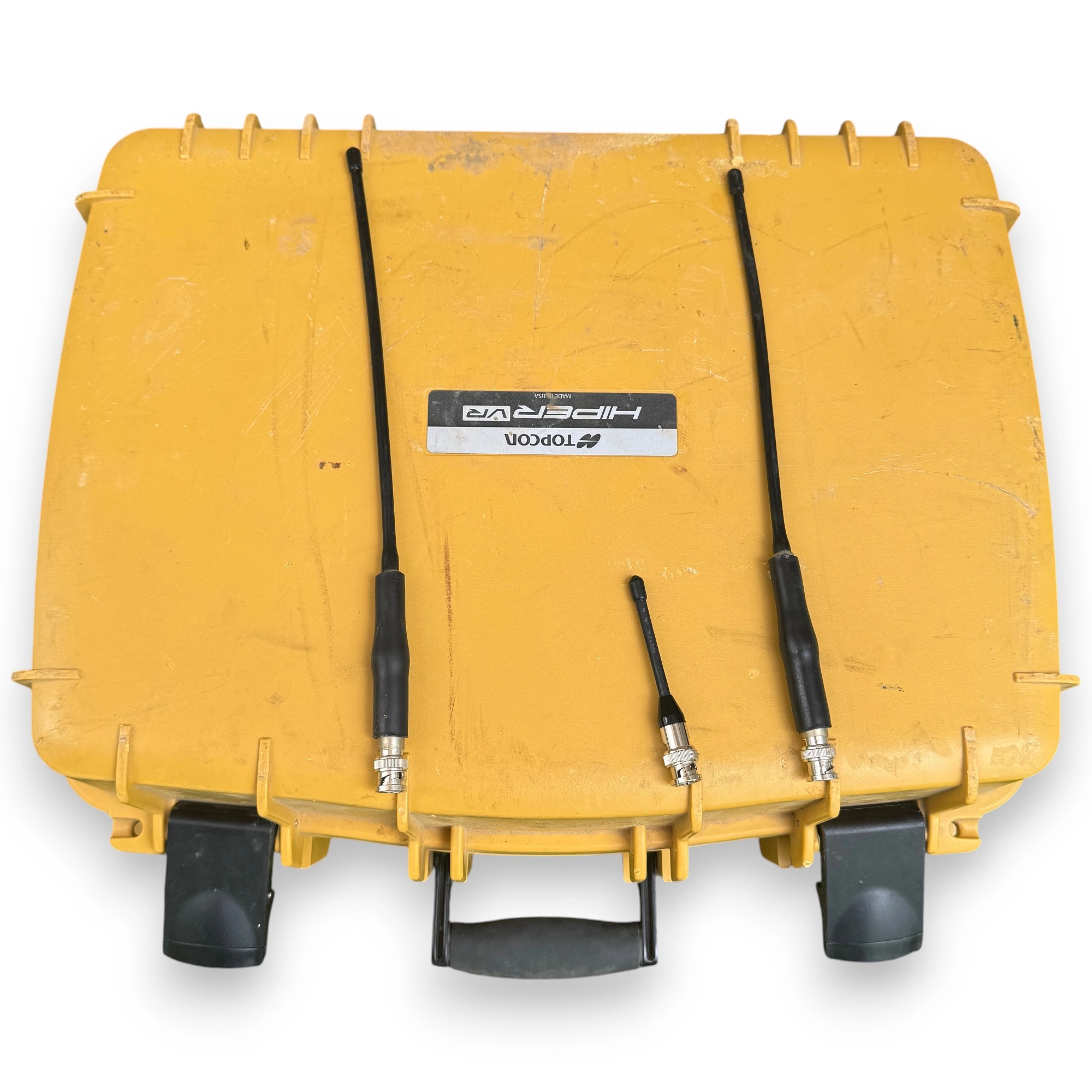
- Topcon HiPer VR GNSS Receiver
- Hard carrying case
- AC power adapter / charger
- Connection cables
- Antenna
- User manual / documentation
Shipping & Returns
Free worldwide shipping.
Estimated total delivery: 4–12 business days. A 30-day return policy applies: if the item is not as described, OMIWAA will issue a full refund. Full return terms are available at omiwaa.com/refund-policy/ .
Why Buy From Omiwaa
OMIWAA physically receives, inspects, grades, photographs, and documents every unit before it is listed for sale. This Topcon HiPer VR was handled directly by OMIWAA — it was not sourced through a broker, listed on consignment, or drop-shipped from a third party. OMIWAA owns and ships every item in its inventory, and condition grading is based on direct physical assessment, not seller-reported information.
Common Use Cases
The Topcon HiPer VR GNSS Receiver is used across a range of professional surveying and geospatial applications requiring precise multi-constellation positioning in the field.
- RTK field surveys for topographic measurement, boundary determination, and control point establishment
- Construction layout and staking where millimeter-level horizontal accuracy is required on active job sites
- Infrastructure and utility mapping for as-built documentation and geospatial data capture
- Base and rover configurations for network RTK and local reference station setups in remote environments